
Knoxville — Snow forms anywhere between 10 to 15 thousand feet above the ground. That's where you get dendritic growth.... the snow growth in the clouds. The snowflakes fall through a cold layer and stay frozen all the way down to the ground.
Fun Fact: It can actually snow when the temperatures are above freezing! However, the warm layer near the surface must be very shallow so that the snowflake does not melt before reaching the ground.
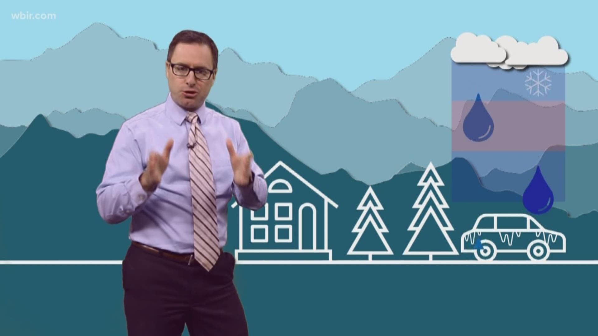
Sleet forms when there is a layer of warm air between two cold layers. The precipitation begins as snow in the clouds but then partially melts when it falls through the warm air. It refreezes before reaching the ground and will fall as tiny ice pellets. You can often hear sleet hitting the ground and see it bouncing upon impact.
Freezing rain forms in a similar way as sleet but the warm layer is much thicker so the snowflake melts completely before reaching the ground. What makes this winter precipitation so dangerous is that once that liquid water drop reaches a surface that is below 32 degrees Fahrenheit, it freezes on contact. This includes on tree branches, power lines, and roads. The ice can accumulate and is extremely heavy, bringing down trees and power lines.
Determining how deep those temperatures layers are in the atmosphere is critical to forecasting which type of winter precipitation will fall.