
OAK RIDGE, Tenn. — Researchers spent months building a database in September that they hoped could be used by federal responders in emergency situations. In December, their work started paying off.
The White House posted an image on Twitter of President Joe Biden sitting in a briefing that used maps created by the Federal Emergency Management Agency based on data from the Oak Ridge National Laboratory in the administration's response to devastating tornadoes that swept across several states over the weekend.
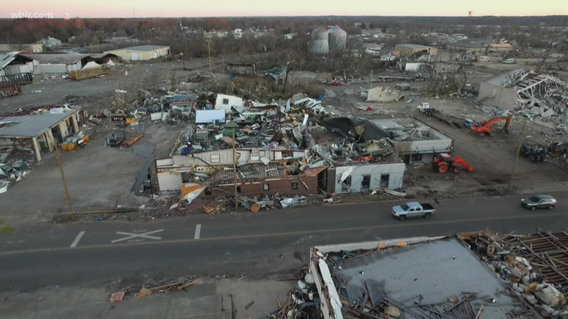
The tornadoes killed several dozen people in Kentucky and left thousands without heat, water or electricity. The same severe storm system swept through Middle and West Tennessee, killing four people.
In late August, ORNL finished developing a database of every building over 450 square feet large across the U.S. The information helps FEMA more quickly respond to natural disasters. They can quickly identify the types of buildings in a region, and help responders evaluate how much a region was damaged.
It helps responders decide on where they should send resources and helps them create color-coded maps of where damage was the most severe, according to researchers.
Before ORNL developed the database, FEMA had to figure out where buildings were located and what their purpose was as part of their response. Now, that information is already known.
The researchers used artificial intelligence and ORNL's supercomputers to catalog buildings based on satellite images. The database was also used in FEMA's response to disasters like Hurricane Ida and wildfires in California.