
Great Smoky Mountains Natl. Park — The National Park Service is asking for people to weigh in as it prepares an environmental assessment for the proposed Laurel Falls Trail management plan in the Great Smoky Mountains National Park.
Starting Dec. 1 through Jan. 6, the park is seeking public input on the proposed management plan. It addresses visitor experience and safety, parking and trail infrastructure rehabilitation for one of the most visited trails in the park.
"We say it's the busiest trail in the busiest park," Lisa McInnis, the chief of resource management and science at the Great Smoky Mountains National Park, said. "It receives about 375,000 visits a year."
Access to the trailhead is located along Little River Road, which is one of the most heavily traveled roads in America's most visited national park. Nearly 14.1 million visitors came to the park in 2021, and the ever-increasing number of people visiting the park each year has caused more road congestion, overflowing parking lots and other issues.
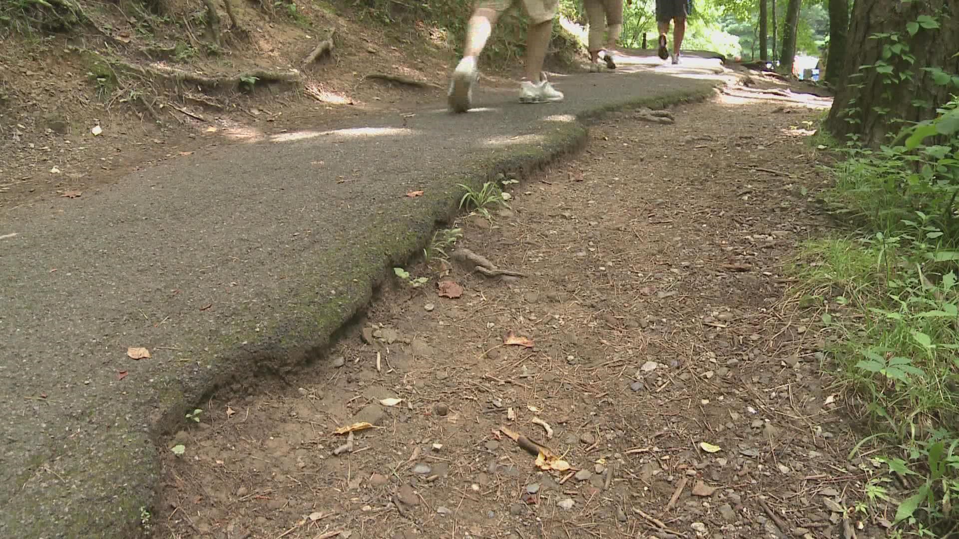
"The trails right through here, whether you go south or north toward the falls, are pretty treacherous," trail runner David Bowen said. "I have to pay a lot of attention to that."
He said he'd like to see the GSMNP follow through with the proposal to widen the trail.
"There's a few places that you could really stop and enjoy," Bowen said. "But, you can't really do that at this point because there's nowhere to stop."
In order to improve access and rehabilitate the popular trail, the park is planning on making some big changes—including adding more parking lots, widening the paved trail and replacing the old bridge at the upper falls with a pedestrian bridge connected to stairs to the lower falls and viewing platforms.
According to GSMNP, they are considering and asking for input on:
- Widening the paved trail to the falls up to 8 feet where feasible
- Installing a vault toilet in the vicinity of the trailhead
- Adding five trailside rest areas along the path to the falls
- Adding walls along the trail that can be used as seating as well as stone retaining walls to prevent off-trail visitor use and protect vegetation
- Replacing the old concrete bridge at the upper falls with a wider pedestrian bridge with railing. The new bridge would have a series of viewing platforms to reduce crowding along the trail that would be connected to stairs leading to the lower falls area. A new bridge below the lower falls would also be built connecting to other viewing platforms with stairs back up to the trail.
- Increase parking capacity at the trailhead by constructing two new parking lots
- Formalize existing parallel parking west of the trailhead by widening the roadside area
- Adding a shuttle service to Laurel Falls and possibly other destinations in the park that runs from a parking area outside the park or through a commercial entity
The park wants your input on the proposed action and issues that should also be considered. Here's how you can weigh in through January 6:
- Online at parkplanning.nps.gov/LaurelFalls; or
- By mail at: Laurel Falls Trail Management Plan/EA, Great Smoky Mountains National Park, 107 Park Headquarters Road, Gatlinburg, TN 37738
To learn more about the proposed Laural Falls Trail Management Plan EA, you can visit the NPS planning website at parkplanning.nps.gov/LaurelFalls.