
BRYSON CITY, N.C. — Planning a trip to the Great Smoky Mountains National Park but not sure where to go?
Why not take a hike up to the highest point in the park?
It's called Clingmans Dome and believe it or not, the trek to the top isn't as hard as you might think, just 0.5 miles. Here's what you need to know before you go.
What to expect:
You can check weather conditions before you go with the park’s Clingmans Dome webcam.
The temperatures will be 10-15 degrees cooler so you’ll want to dress in layers.
The trip is about an hour and a half to two hours from Knoxville and an hour from Gatlinburg and Pigeon Forge.
There are plenty of scenic pullouts along the 7-mile drive up to Clingmans Dome Road.
The parking area gets crowded so you’ll want to get there early or pack plenty of patience.
The Clingmans Dome Visitor Center is located just past the parking lot. A small restroom is in the parking lot.
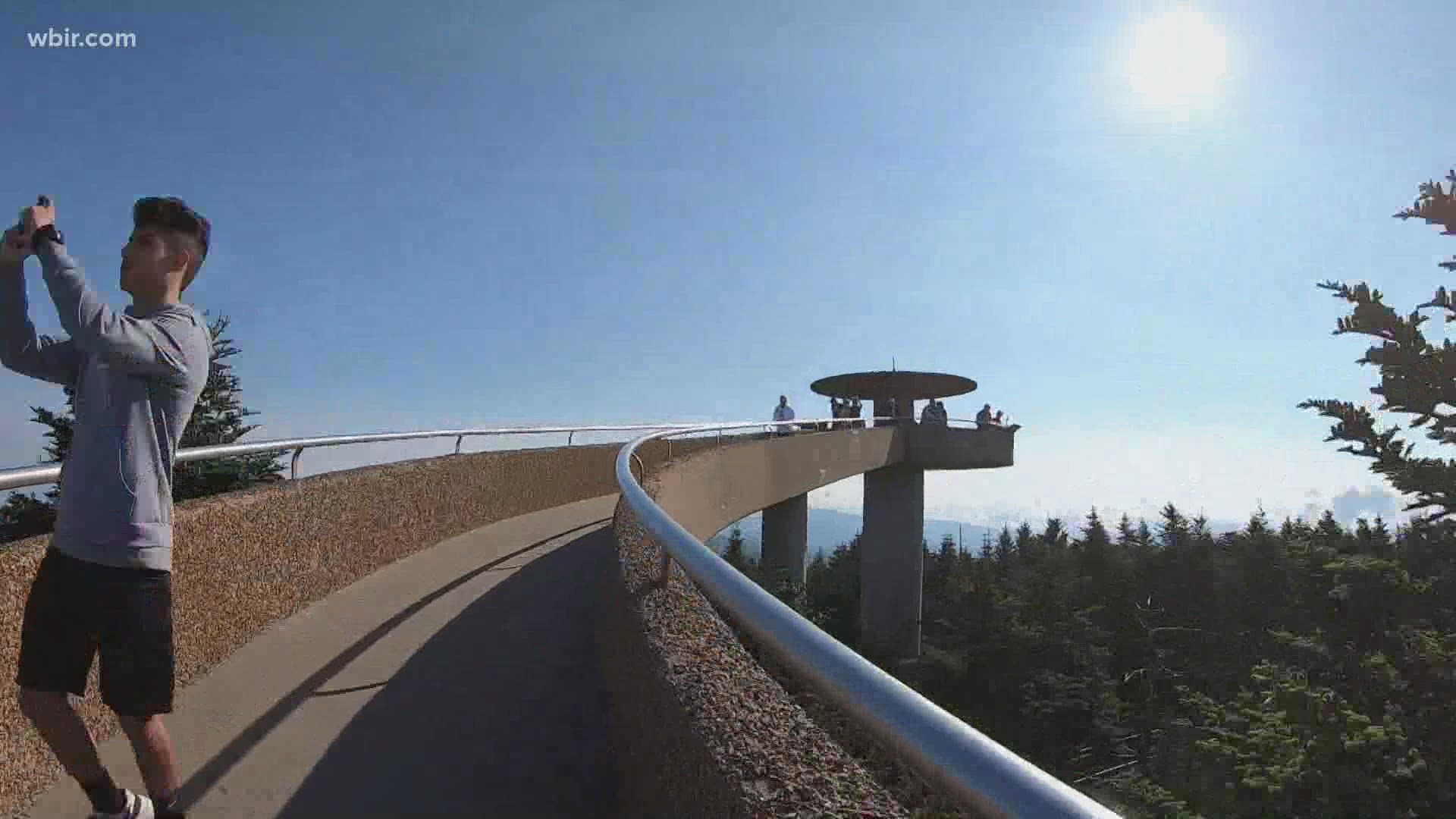
It’s a steep 0.5-mile hike on a paved road to the top from the parking lot.
A 360-degree observation tower awaits you at the top.
Clingmans Dome, like the rest of the national park, is free.
What you need to know:
It’s located just over the state line on the North Carolina side of the Smokies.
The Appalachian Trail and Forney Ridge Trail, which lead to Andrews Bald, both connect to Clingmans Dome Road.
Even though it’s paved, the trail to the top is very steep and not wheelchair accessible.
Pets and bikes are not allowed on the trail.
Clingmans Dome Road is literally on the side of a mountain and has some blind curves. Drive carefully and be mindful of the drivers around you.
Clingmans Dome Road is typically closed from December through March.
It's a very popular destination in the Smokies so there will be crowds.
Not only is it the highest point in the park, but it's also the third-highest mountain east of the Mississippi River, according to the National Park Service.
What to bring:
Comfortable walking shoes: The trail is very steep.
Jacket: It can be chilly up there year-round.
Water: It’s important to be hydrated.
Camera: You’ll want to snap a photo (or 50) of the amazing views.