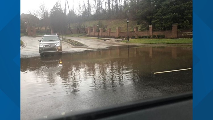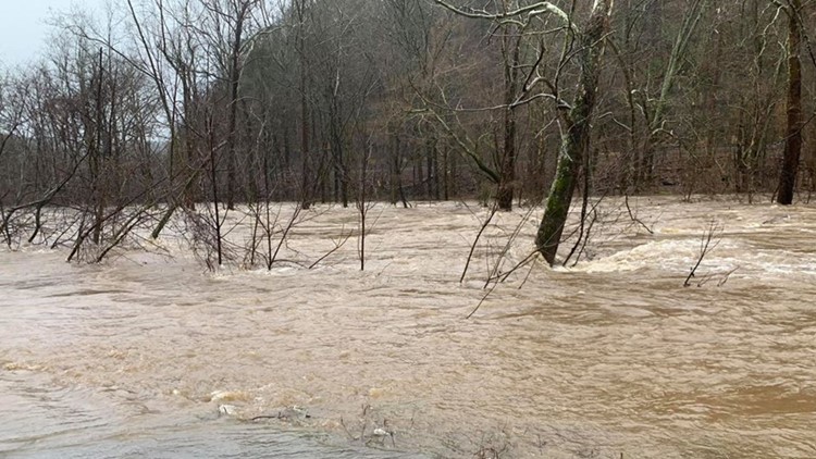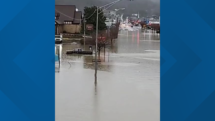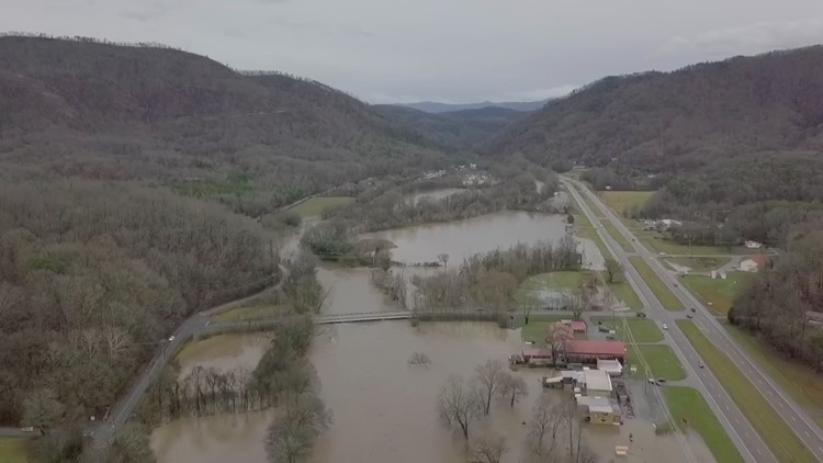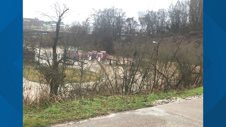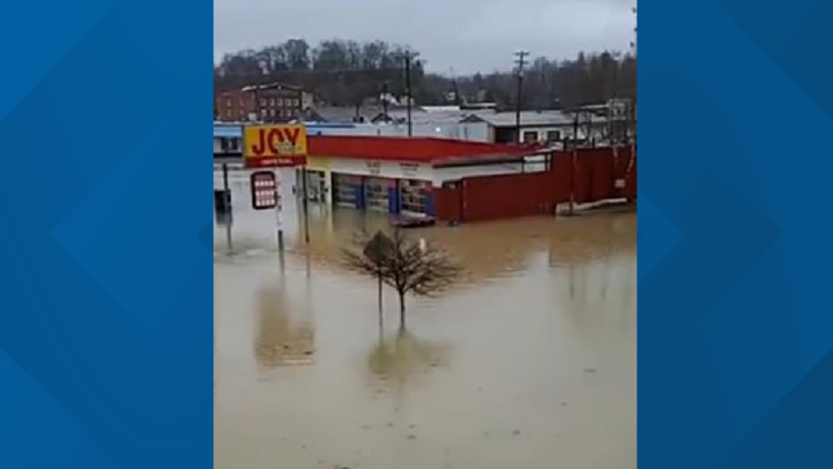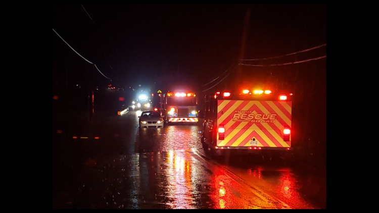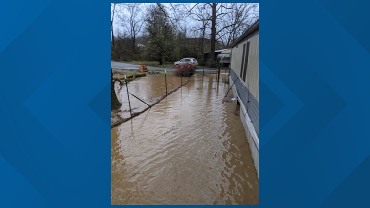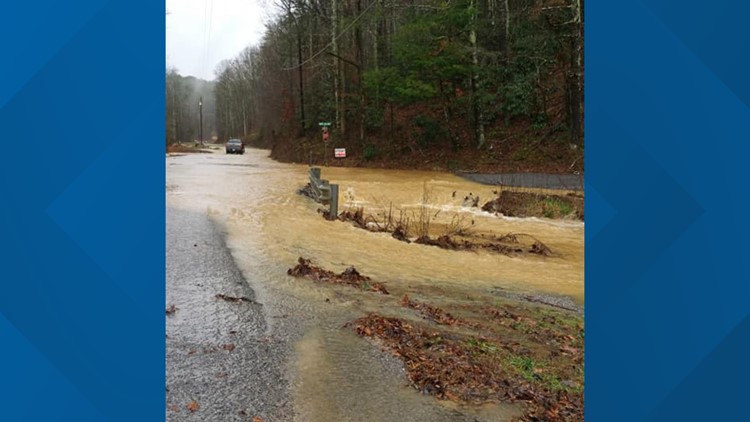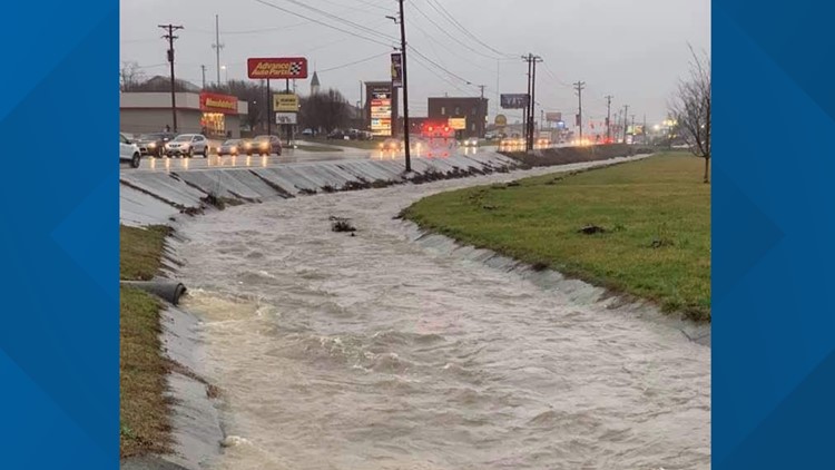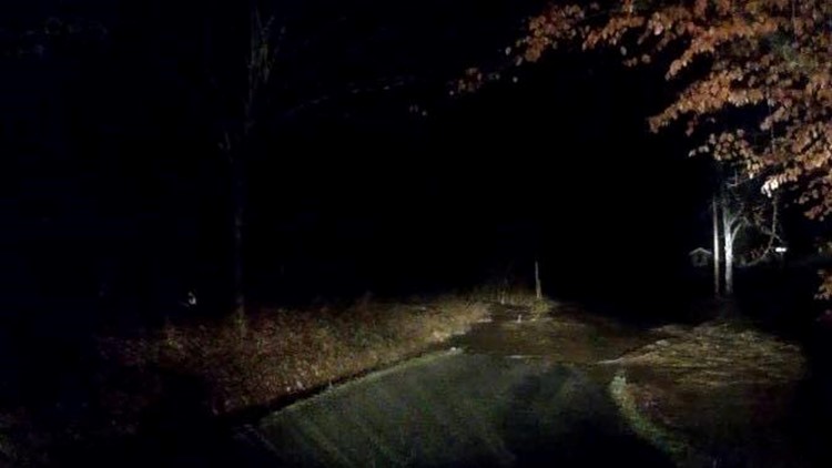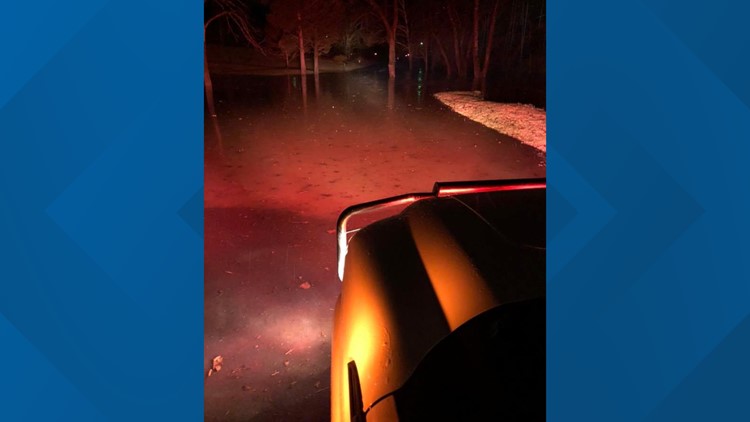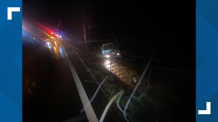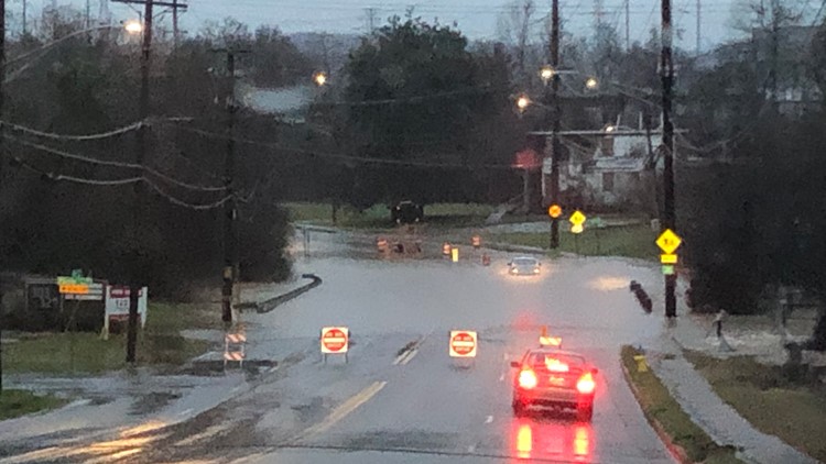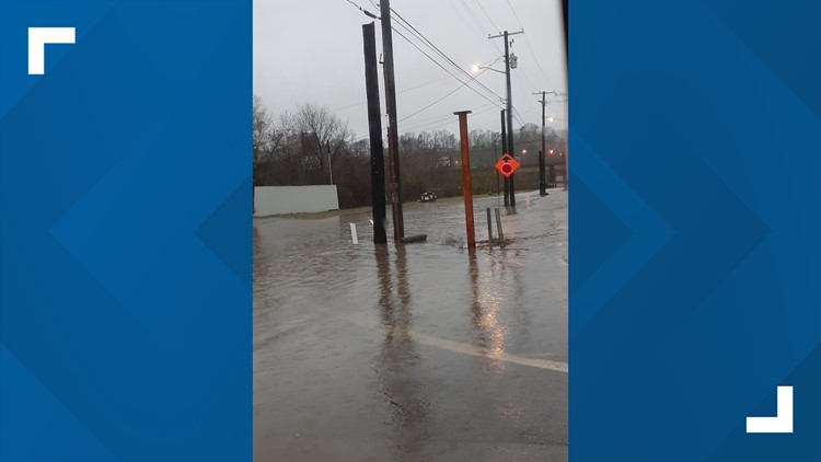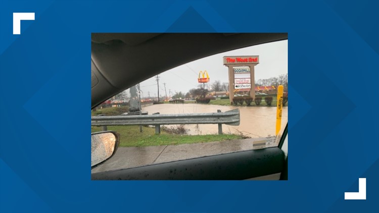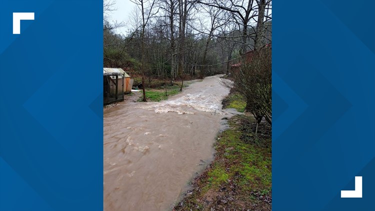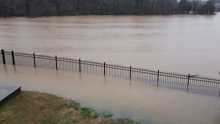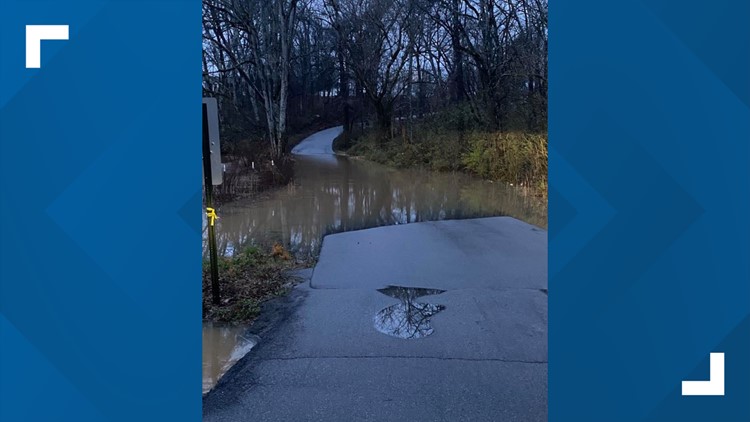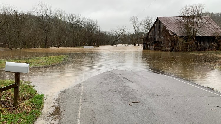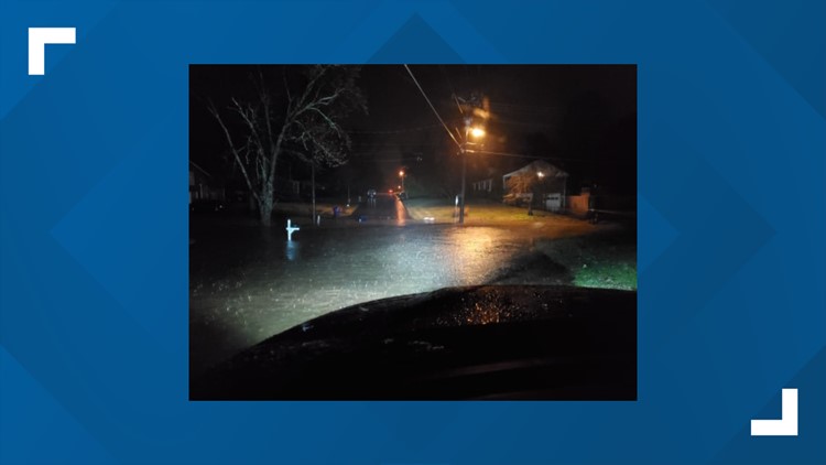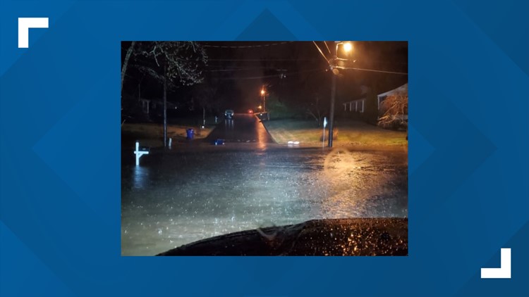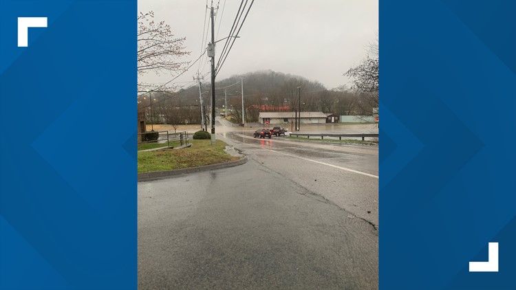
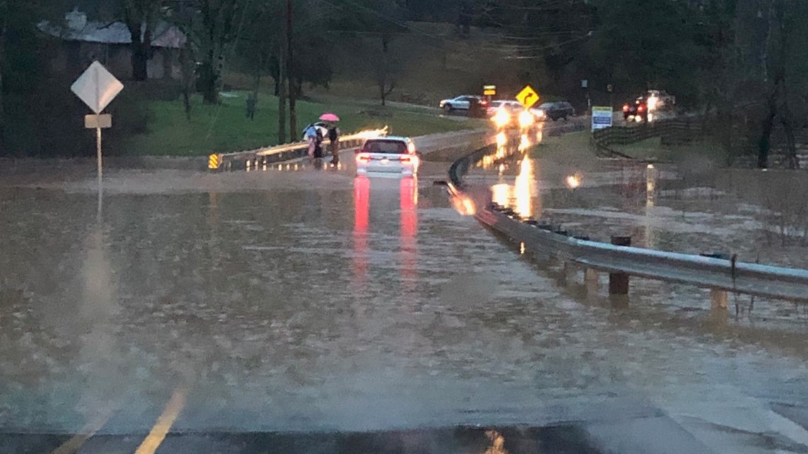
Several East Tennessee counties are reporting flooded roads and dangerous travel conditions Thursday morning.
Authorities are asking people to use extreme caution when driving -- and in some cases are asking people to stay off the road until the rain passes.
Blount County (as of 12 p.m. Friday):
- 6543 Lanier Road
- Lanier rd / Thompson Bridge
- IC King / Old Brookhaven Farm
- W Millers Cove / Mill Loop
- 3527 Wilkinson Pk
- Area of 6000 and 6850 Old Walland Hwy
- 356 and 371 Butler Mill Rd
- Proffitt Springs / Louisville Loop
- Carpenters Grade / Hensley Court
- Prospect / Sevierville Rd
- Eagleton Rd/ E Lincoln Rd
- N Wright rd between Universal St & Meadowood
- 3007 Little Dug Gap Rd
- Calderwood Hwy / Garland Rd
- Sevierville Rd down from Providence Church
- River Ford / Ellejoy Rd
- Kelvin between W Franklin & W Bell
- Wright Rd between Universal & McArthur
- Hembree Hollow rd ( impassable )
- Old Walland Hwy @ the Blue Wall
- Dark Island
- Little River Rd ( Great Smokies National Park )
- Laurel Rd ( land slide )
- Lee Lambert / Tuckalechee
- McGhee Rd between Barkshed and Kerr Rd
- Knob rd / Mint rd
- Melrose Bridge
- Coulter Bridge
- Laurel Valley & Cooper
- Carnes / Cedar Creek
- Old Walland Hwy between Coulters Bridge and Walland Center
- Cedar Creek @ Big Meadow Campground
- Webb Rd bridge
- Wears Valley @ Church of the Cove
- Wears Valley / N River rd
- Areas of 856-1003 on Bethlehem Church
- Gateway Rd
- McHenry rd between Ellejoy and Munsey Hatcher
- Indian Warpath / Calderwood Hwy
- East Millers Cove @ Old Walland Hwy ( CLOSED)
- East Millers Cove @ Forestry Service
- E Old Topside / Wrights Ferry
- Binfield / 411S
- Cameron Rd @ Lovers Ln
Grainger County (as of 12 p.m. Friday)
- Rutledge Pike at Joppa Mountain - Closed
- Black Fox at Liberty Hill - Impassable
- Fennel Road at Milligan Lane - Flooded
- Fennel Road at The Bridge - Impassable
- Central Point at Alvin Stratton Road - Flooded
- Willis Rd at County Line Rd - Road Closed
- Elm Springs at Anna May - Flooded
- Ned Clark at Meadow Branch - Impassable
- Locust Grove at HWY 131 - Flooded
- Perrin Hollow (lndian Ridge to Vineyard) - Flooded
- 2530 Lakeshore Dr to Rocky Springs - Flooded
- Mullins School about 2 miles from Meadown Branch – Flooded w/ Swift Water
- Ned Clark at Carpenter Rd- Swift Water
- 526 Coffey Ln - Flooded
- Noes Chapel Rd to Youngs Rd- Flooded
- North Side of Joppa Mountain Rd at Hwy 131 - Impassable
- Dale Rd at Hwy 131 - Impassable
Jefferson County (as of 11 a.m. Friday):
- Cripple Creek Road
- Quarles Road
- Day Road
- Quarry Road
Knox County: (as of 3 p.m. Thursday)
- Snyder Rd at Buddy Greg Motor Homes
- Kingston at Capitol
- E Raccoon Valley at Billsway
- Walker Blvd at Mineral Springs
- Brown Gap at Maize
- Byingtion Solway at Karns Valley
- Collier at W. Emory
- Gilbert at Lovell
- Martin Mill at Tipton Station
- S Northshore at Bickerstaff
- Concord at Kingston Pike
- Temple Acres at Scenic View
- McCubbins at Woodale Church
- S Peters at George Williams
- Ebenezer at S Peters
- 2211 Dutch Valley
- Central Ave at Irwin
- Wisesprings at Ridgeview
- Heiskell at E Raccoon Valley
- Emory at 75N
- Hieskell at Bullrun
- Washington Pk at Shipe
- Washington Pk at Dunsmore
- Virtue at Turkey Creek
- S Concord at Kingston Pk
- Old Clinton Pk at Clinton Hwy
- 4518 W Beaver Creek
- 101 S Concord
- Westland at Chesapeake
- 40E RF N Campbell Station
- 6th at Grainger
- Emory at Powell
- Painters Farm at Harrell Rd
- Tazewell Pke at Fountaingate
- MM375 40E
- Greenwell at Western
- Weaver at Messer
- 9911 Hieskell
- Brown Gap
- Maize at Bell
- Ellistown at Bud McMillan
- Collier at Emory
- 10730 E Emory
- Ebenezer at Brucewood
- Prosser at Knox Zoo
- W Beaver Creek at Weaver
- Ebeneezer Rd at Wessex Rd
- Tedford Ln. at 900 Block
- Campbell Station (North) at I-40
- Diggs Gap Rd - btwn E. Bull Run & I-75
- Clayton at NE of East End Rd..
- Tedford Ln at Keller Bend Rd
- Ebenezer at Gleason
- Beverly Rd. at Oakland Dr.
- 509 E. Beaver Creek Rd
- Curtis Rd at Midway Rd
- Idumea Rd at Childs Rd
- Idumea Rd at Washington Pk
- Stevens St. at East End Rd.
- Childs Rd at Washington Pk
- Beeler Rd - btwn Stormer Rd & 6721 Beeler Rd
- Byington-Solway Rd - behind Karns HS
- Longvale Dr. at Chapman Hwy
- Johnson Rd - btwn Ball Rd & Schaad Rd
- N. Cedar Bluff Rd at Fox Lonas Rd
- Campbell Rd at Flint Gap Rd
- Wells Rd and Willoughby Rd
- Wells Rd. SW at Willoughby Rd.
- Cranberry Dr. at Gaines Rd.
- 7809 Wood Rd
- Woody Rd at Annadale Rd
- Washington Pk btwn Dunsmore Ln & Gilmore Ln
- 656 - 706 Loop Rd
- E. Brushy Valley Rd at W. Bull Run Rd
- 6120 & 6220 Flint Gap Rd
- 2700 Crosslane Rd
- 6th Ave at Hall of Fame Dr
- 5th Ave at Hall of Fame Dr
- Central Ave Pk at Irwin Dr
- Tenwood Dr at Knott Rd
- Loves Creek at Rutledge Pike
- Brandau Dr at Maple Loop Rd
- 5910 Oak Rd
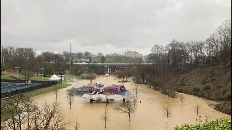
- The City of Knoxville (as of 12 p.m. Friday)
- Prosser Road at Knoxville Zoo Drive
- Longvale Drive at Chapman Highway
- Wells Road SW at Willoughby Drive
- Cranberry Drive at Gaines Road
- Brandau Drive at Maple Loop Road
- 5910 Oak Rd
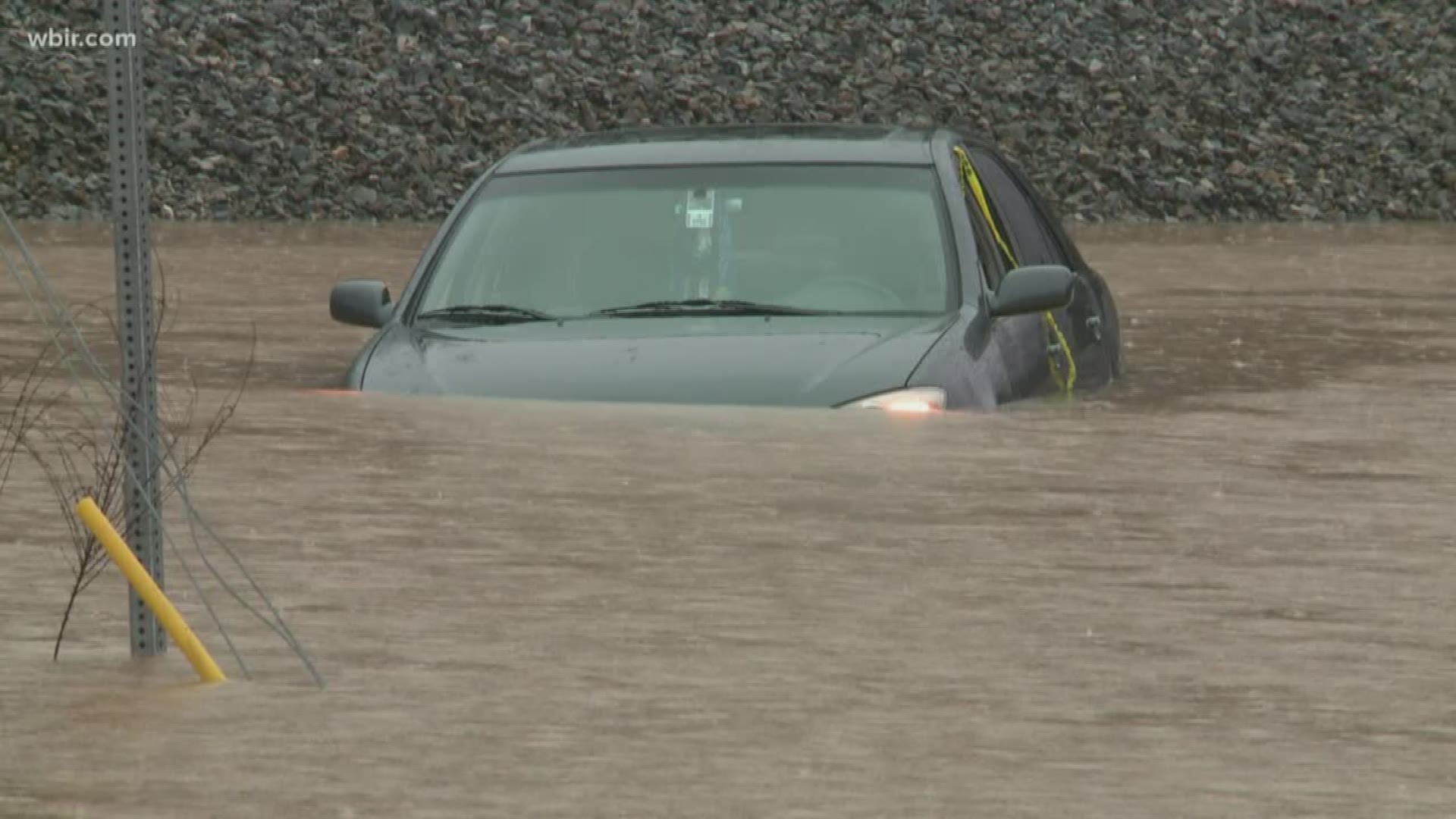
Knoxville Emergency Management Agency (KEMA) issued the following statement Thursday around 2 p.m.
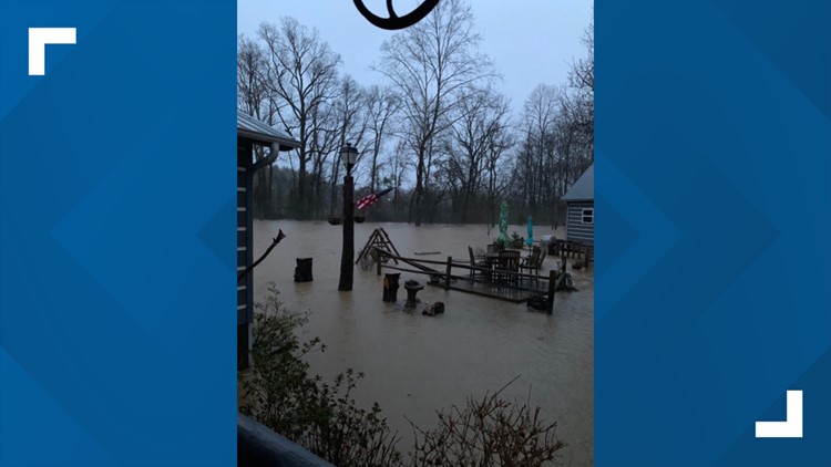
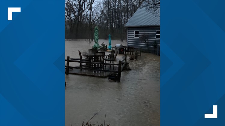
"The City of Knoxville and Knox County have experienced significant rainfall over the past 24 hours, resulting in substantial flooding on the roadways and surrounding areas. Over 70 roads are currently closed, while over 20 water rescues have been completed in the city and county combined. All city and county assets are currently deployed, handling incidents and working to flag and mark hazardous areas. As it gets darker this evening, standing water will be increasingly difficult to see, compounding the danger for both motorists and pedestrians. City of Knoxville and Knox County emergency personnel want to remind citizens to avoid roads and areas that have been flagged, to exercise extreme caution and to never drive or walk through standing water. "

Loudon County (as of 12 p.m. Friday):
- Loudon County authorities say several vehicles have been involved in crashes due to standing water and hydroplaning, asking people to use caution and slow down.
- Murray's Chapel Road, both Monroe and Loudon County sides, was closed around 12 p.m. Friday.
- Lou Goddard Road was closed around 12 p.m. Friday.
McMinn County (as of 12 p.m. Friday):
- The county urges people use caution on all back roads
- County Road 876 at The Bridge - Closed
- County Road 854 near County Road 858 - Flooded
- County Road 700, between County Road 725 and County Road 745 - Flooded
Monroe County (as of 12 p.m. Friday):
- According to dispatchers, all roads are open although commuters should use caution while driving.
Meigs County:
- State Route 58 northbound in Meigs County at Woody Road is flooded with motorists advised to use caution on this roadway.
Oak Ridge:
- Jefferson Avenue at North Jefferson Circle
- Oak Ridge Turnpike between Imperium Dr and Southwood Ln. Eastbound Lane is down to one lane due to flooding
Roane County (as of 12 p.m. Friday):
- Roane County authorities say not to travel on Upper Guettner Road, as part of it washed out. A fallen tree was also reported in Rockwood at Reese Street.
- Airport Road is not expected to reopen until Monday
Scott County (as of 12 p.m. Friday):
- Tunnell Hill Road is partially blocked.
Sevier County:
- Little River from Townsend to Elkmont. Elkmont campground evacuated and closed (only four spots were occupied). Line Springs Road. Upper Loop of Cherokee Orchard Rd.
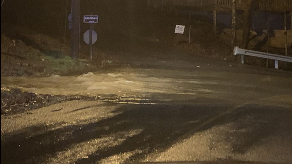
- River Divide Road, Long Branch Road, Happy Hollow @ Whetstone, Kings Branch @ Ohldams's Creek Road, Burden Hill @ Eastgate, Ogle Dr @ Tinker Hollow, Goose Gap @ Walden's Creek Road, Silver Poplar @ Waterfall Lane, Snapp Road. Roads with debris but may be passable: Boogertown Road, Round Top Drive, Valley View Road, Manis Road, Wears Drive, Ogles View Road, Willow Tree Road, Birds Creek and Old Birds Creek Road, 4100-block of Jones Cove Road, Gnatty Branch Road, and Old Newport Highway.
- River Road has REOPENED downtown as of 2:55 p.m.
- Glades Road is closed between Covered Bridge Road and the Birds Creek/Buckhorn intersection in Gatlinburg.
- Hemlock Street is closed in Gatlinburg.
Sevierville:
- Sevierville Police closed Burden Hill Road due to high waters -- saying people should not drive through closed or water-covered roads.
- Red Bank Rd @ Pittman Center Rd
- Old Knoxville Hwy @ Swans Ferry
- Snapp Rd @ Ernest McMahan Rd
- Burden Hill Rd @ Eastgate Rd
- Apple Valley Rd.
- Hardin Ln @ West Main St
- Old Knoxville Hwy @ East Loop Rd
- Sevierville City Park
- Northview Optimist Park
- Park Rd from City Park to Parkway closed
- Old Knoxville Highway @ Golf Course-both directions of travel Old Newport Highway behind Sevier County High School, 1100 block