Several schools in East Tennessee began calling out and delaying schedules due to possible winter weather.
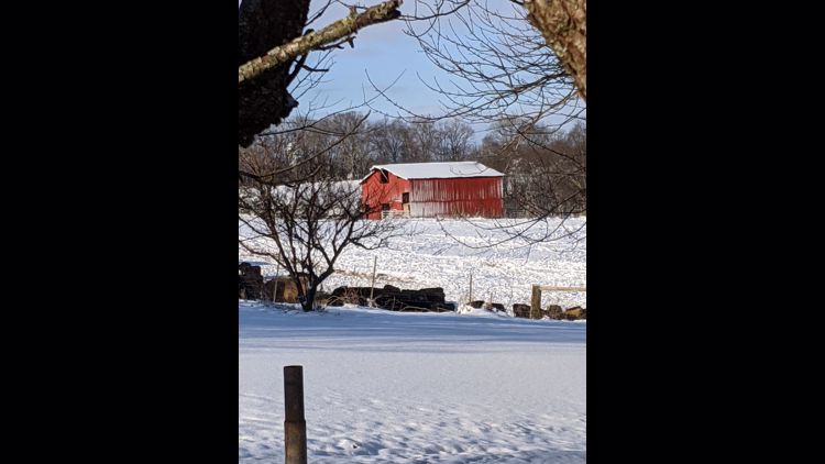
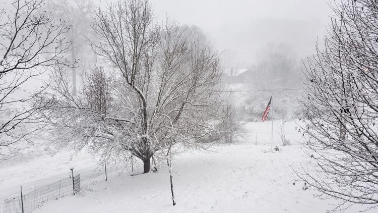
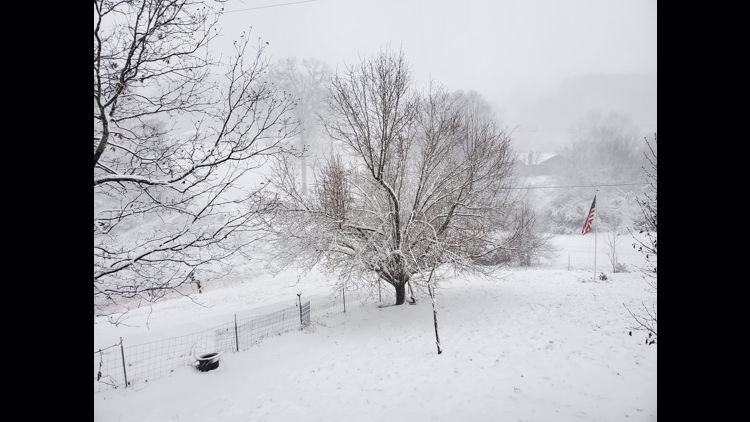
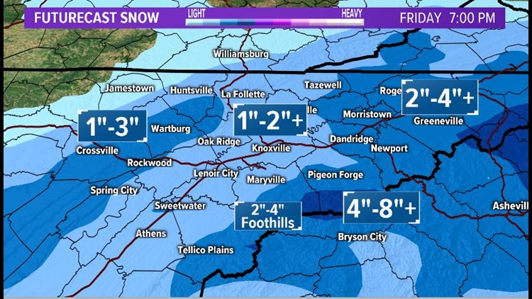
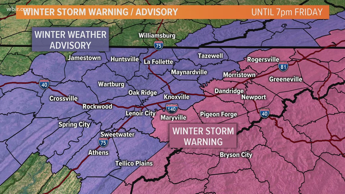
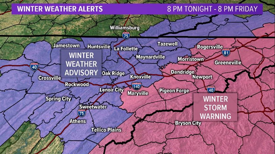
Knox County is under a Winter Weather Advisory and nearby counties including Blount and Sevier counties were in a Winter Storm Warning. Pigeon Forge, Morristown, Dandridge and Rogersville are also under a Winter Storm Warning. Those areas can expect between 2 inches and 4 inches of snow, with higher amounts possible.
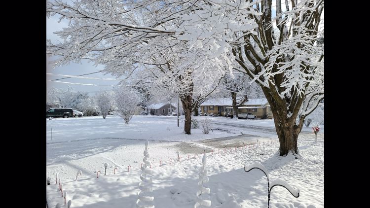
Knoxville, Crossville, Tazewell, Huntsville and Jamestown were under a Winter Weather Advisory. Between 1 inch and 3 inches is possible in these areas.

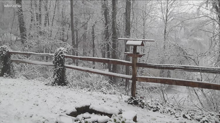
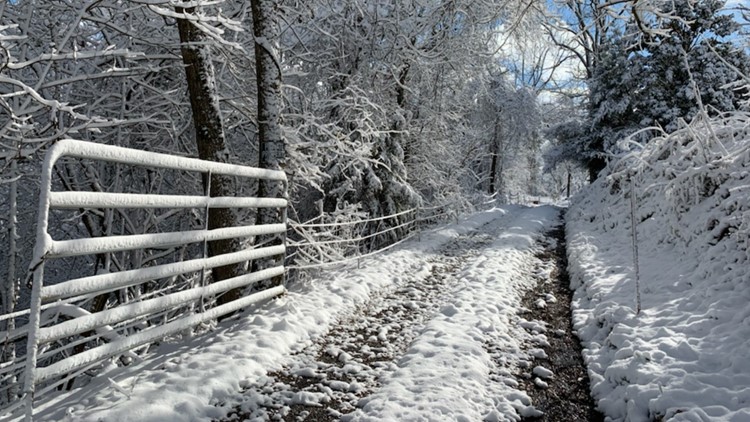
Wet snow accumulations are possible and could cause slushy roads to develop with temperatures near freezing in the advisory areas.
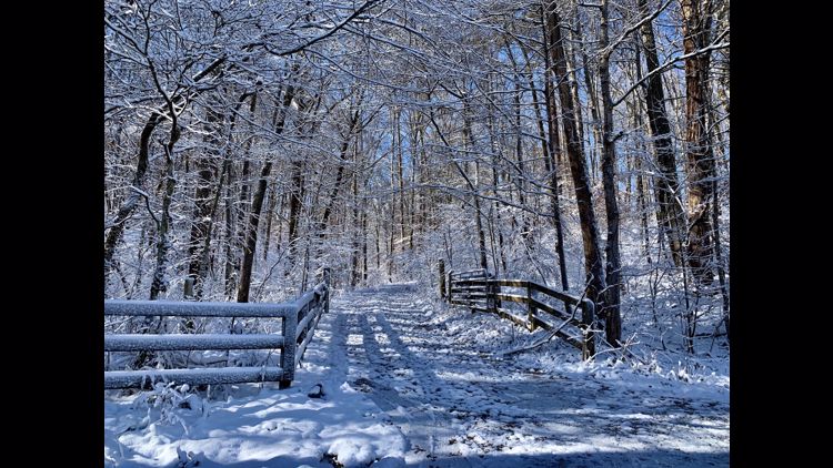
Rain showers will mix with and then change to snow by early Friday morning. Snow could change back to rain briefly Friday afternoon before transitioning back to light snow showers Friday night. Saturday looks to be a drier and cold day.
--
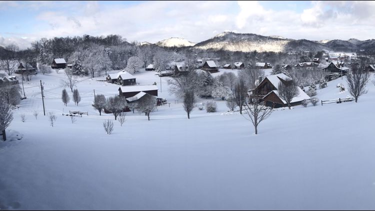
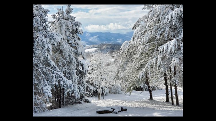
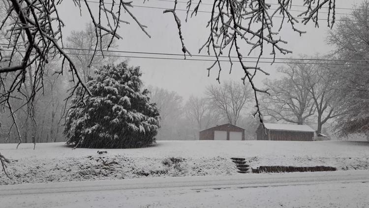
The best chances for heavy snow will be across the higher elevations, including Upper East TN and the Smoky Mountains, where a Winter Storm Warning is in effect until 7 PM Friday. Lighter amounts of snow are expected in the Winter Weather Advisory area which is in effect from 1 AM through 7 PM Friday. Stay tuned for updates as this system moves in overnight into Friday.


Stay tuned to WBIR and wbir.com as well as social media for the latest updates!
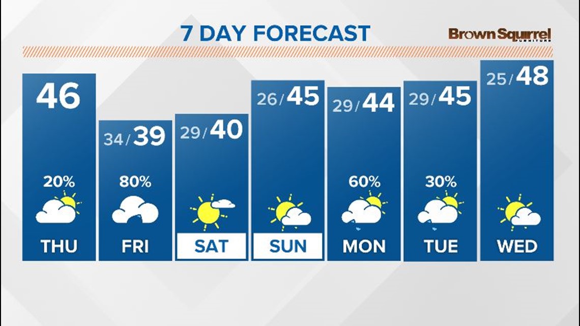
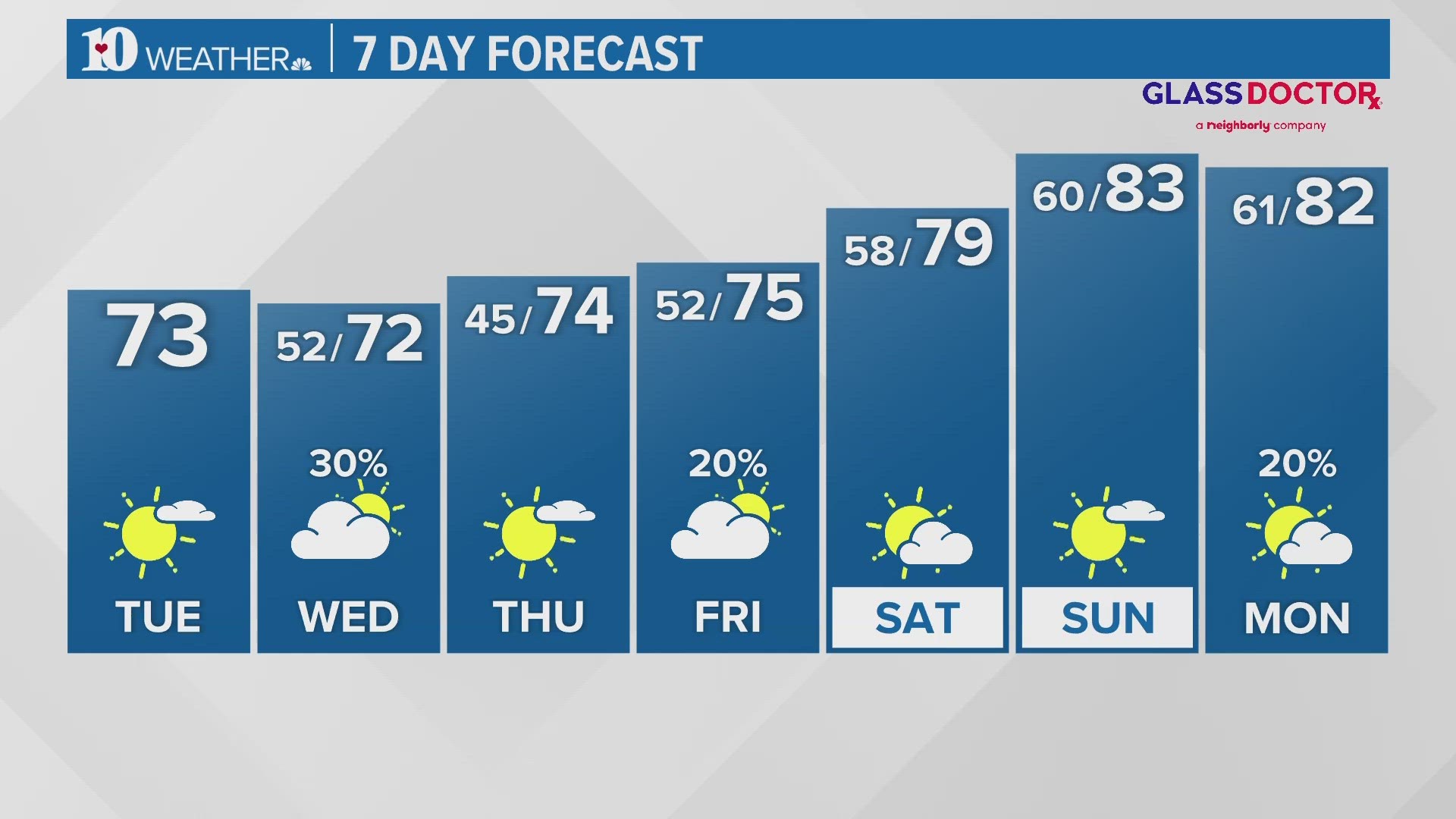
Meanwhile, here is a look at your 7 Day Extended Forecast: