
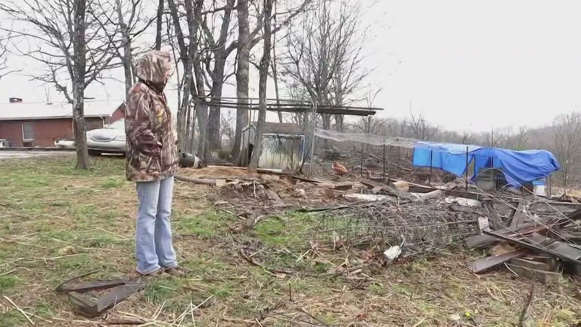
Families in Monroe County are checking the condition of their homes after the National Weather Service says an EF-0 tornado touched down Saturday.
The storm hit in a very remote part of the county, right at the edge of the Cherokee National Forest, and left a trail of downed trees. Many homeowners were lucky to escape with relatively minor damage, but at least one family took a direct hit.
Michael Ellis was in his house when he heard the storm coming.
"It was like God shook the house, twisted it and set it down like wakeup,” he said.

Ellis said the storm lifted his house off its foundation.
"I'd say it was about 6 feet up in the air,” he said.
Ellis said his home is uninhabitable, and he'll be staying with friends while he sorts it out.
The NWS says the storm packed winds near 85 miles per hour, and put the path of the tornado along about a mile and a half line starting southwest of Tellico Plains.
As is routine, the NWS surveyed the damage Sunday to determine whether the storm indeed reached tornado stage.
More: Here's how tornado sirens work
According to the weather service, it developed as it moved east from a ridge and down into the Hooper Branch Creek valley along Pond Ridge Road.
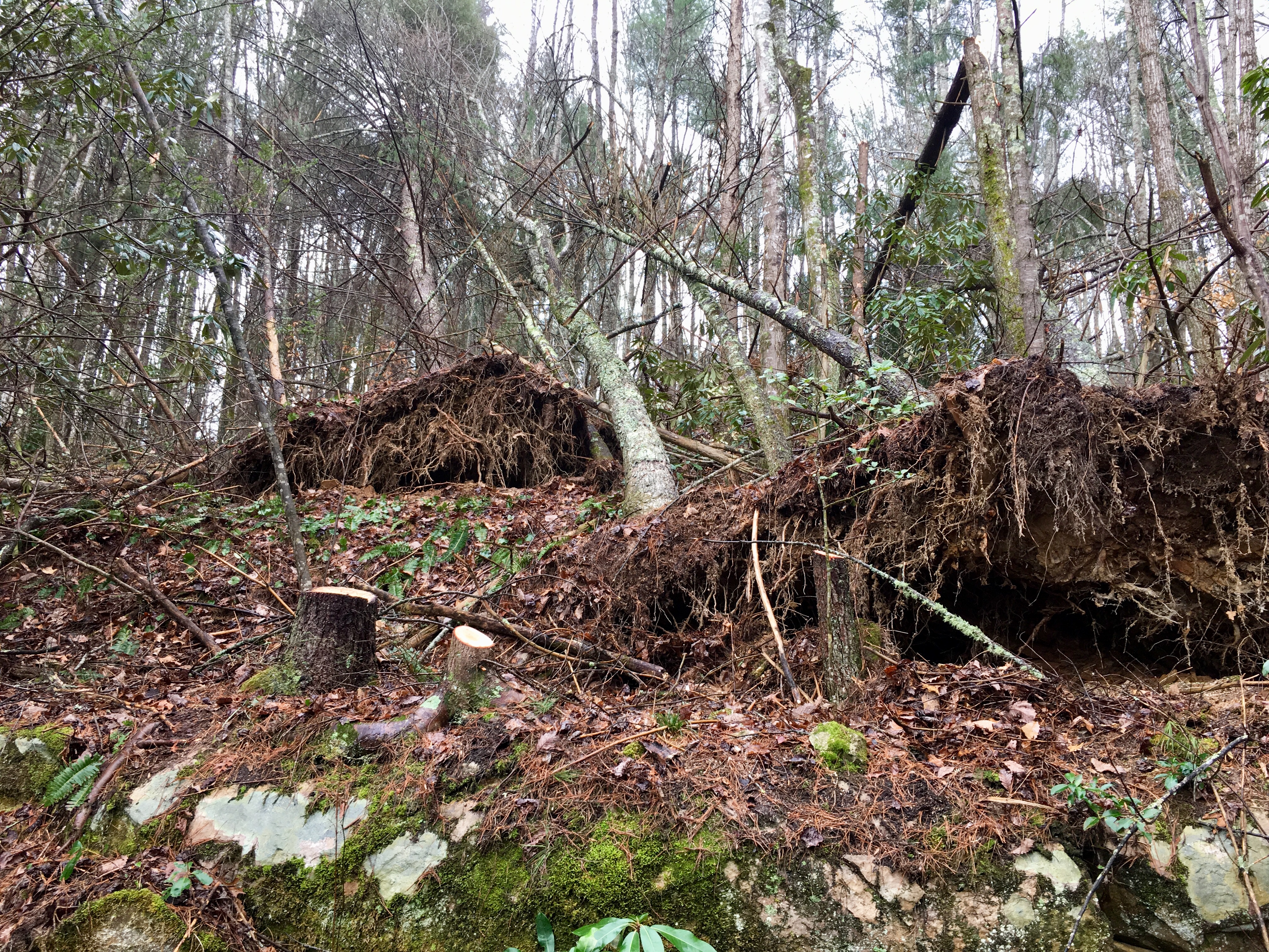
The tornado uprooted trees and continued on an eastward path over a ridge, knocking down fences and striking a small barn.
The NWS says that as the tornado approached and crossed Highway 68, it destroyed more trees and damaged some structure roofs.
The weather system Saturday night also caused numerous reports of hail in the WBIR viewing area.
The weather system Saturday night also caused numerous reports of hail in the WBIR viewing area.
Here's how tornadoes are classified, called the Enhanced Fujita scale:
EF0...Weak......65 to 85 mph
EF1...Weak......86 to 110 mph
EF2...Strong....111 to 135 mph
EF3...Strong....136 to 165 mph
EF4...Violent...166 to 200mph
EF5...Violent...>200mph