SEVIER COUNTY, Tenn. — The Sevier County Emergency Management Agency said Monday it was expanding a flood warning system in Gatlinburg throughout the county, helping make sure there is ample warning in case of flooding.
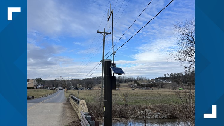
According to a release, the Sevier County EMA worked with Sevierville, Pigeon Forge, Gatlinburg, Pittman Center and the Great Smoky Mountains National Park to expand the system. It's made up of field sensors and software named "Contrail" that monitors streams, rivers and precipitation levels across the county.
"With the unpredictable nature of Tennessee weather, it's crucial to have cutting-edge resources to stay ahead of potential threats. Contrail Flood Warning Software empowers us to proactively monitor local waterways and issue timely warnings in the event of rising water levels," said Joe Ayers in a release, the Sevier County EMA director.
The release said higher elevations in the county could get precipitation levels between 58 inches and 86 inches, especially in the Great Smoky Mountains. Higher elevations could also get around 70 inches of snowfall annually, according to the release. Runoff from this precipitation feeds into streams and rivers. So, the release said the county needs systems that monitor waterways to protect its 100,000 residents, as well as the millions of visitors it sees every year.
"By collecting and analyzing real-time data on streamflows, precipitation, and other weather factors, the software triggers alerts when potential flooding situations are detected. This data allows local officials to disseminate early warnings to residents and emergency responders, enabling them to take necessary precautions," the release said.
As of January 2024, the release said flood warning system sites were installed on major tributaries like the Middle and East Prongs of the Little Pigeon River and the Waldens Creek Watershed. The county also said it is working to add more sites.
The software also provides data about temperatures, wind speed, wind direction and more which can help first responders during severe weather.