KNOXVILLE, Tenn. — Today is a 10Weather Impact Day due to the potential for severe weather to impact our area during the early morning hours.
Please plan ahead before severe weather strikes! If a tornado warning is issued in your area, you need to know how to get to a safe spot immediately and take shelter on the lowest level of your home in the center-most area away from doors and windows. Also, remember to charge your phones and have some way to track and receive emergency weather alerts tonight!
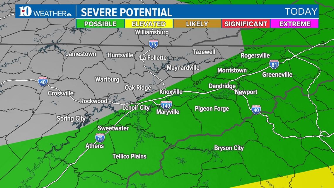
TIMELINE
We had a round of showers and storms Wednesday morning that produced large hail and damaging winds across the area.
Sunshine Wednesday afternoon allowed the atmosphere to become very unstable with such warm and muggy conditions.
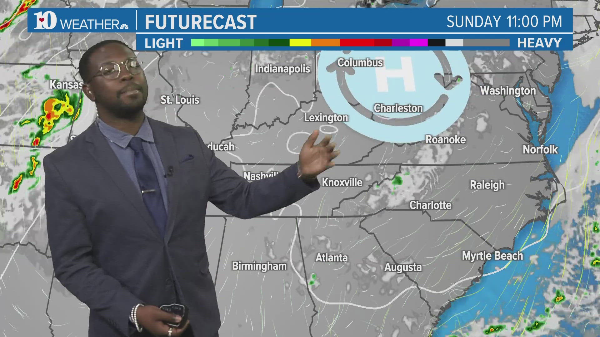
A final round of weather will be hitting the area during the Thursday morning commute hours.
THREATS
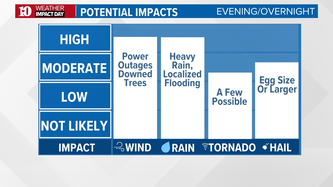
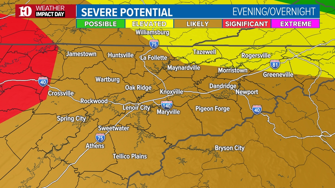
All forms of severe weather are possible but the main threats will evolve through the event.
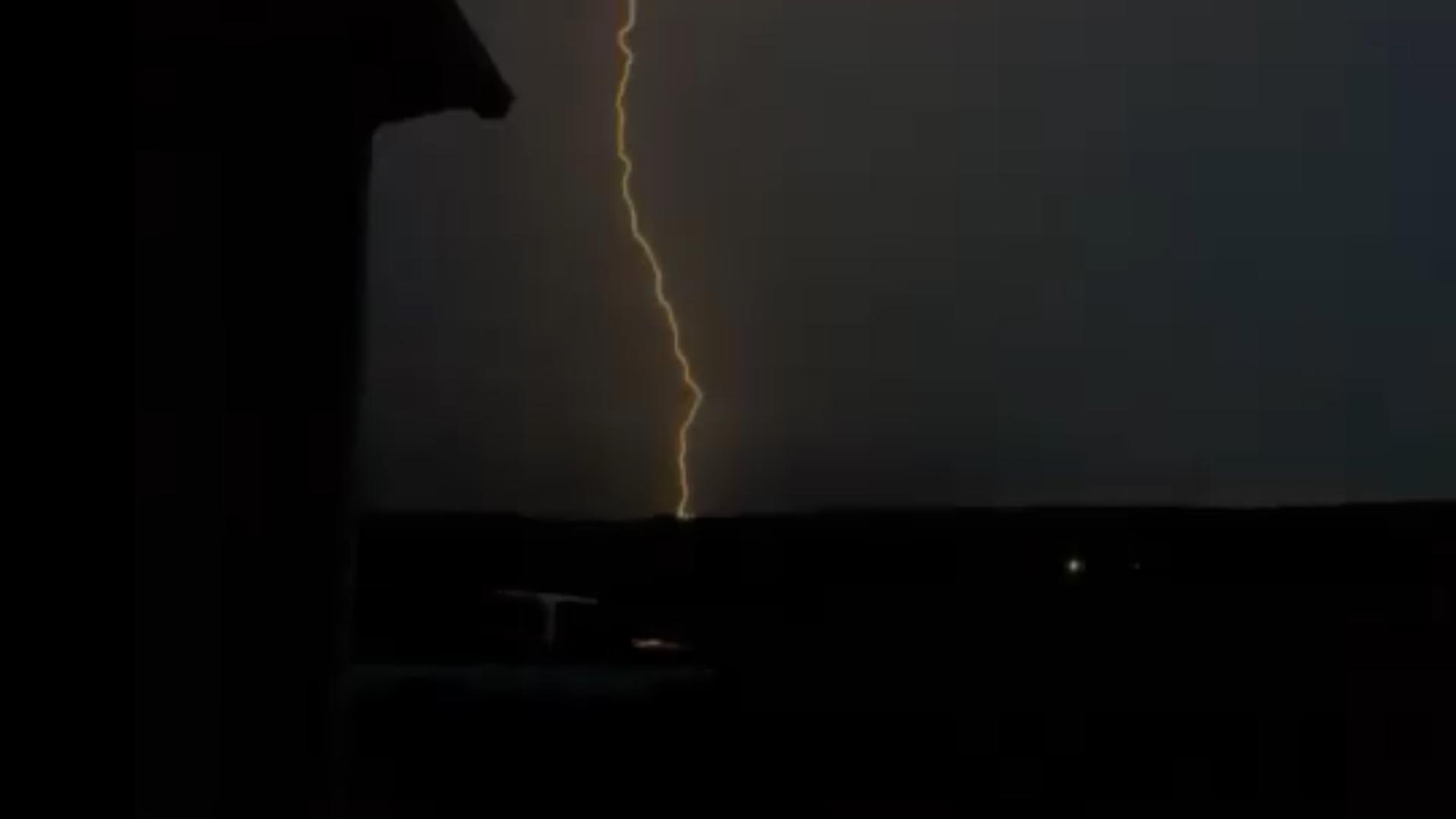
Damaging winds, hail the size of golf balls or larger and tornadoes (a few strong) were the biggest concerns Wednesday afternoon and the evening/overnight rounds of storms, after redeveloping afternoon instability.
Most of the strongest storms have already passed, but we're not quite done yet! Storms coming out of Middle Tennessee still maintain some strength and a few severe storms will still be possible.

IMPACTS
Downed trees and power lines could cause power outages and strong wind gusts will increase the potential for tree damage.
We already had baseball size hail (2.75" in diameter) in Bean Station Wednesday morning and more large hail could cause damage to vegetation, buildings and vehicles.
You may want to consider putting your car in a garage or other cover as you head out the door.
Flooding concerns will increase throughout the event as rainfall totals add up. Watch out for standing or rising water if you live or drive through a flood-prone area, especially this morning.
The Storm Prediction Center put the majority of our area under a Level 3 out of 5 "Enhanced" risk in East Tennessee overnight.

As we we reach Thursday morning, the severe threat significantly decreases as showers fade.

HOW TO PREPARE
Now is the time to get prepared... Make sure you have a plan and know where you will go if a warning is issued.
Your "safe place" should be a bathroom or closet in the lowest level of your home away from doors and windows. Put as many walls between you and the wind as possible to avoid flying debris.


Make sure you have multiple ways to receive alerts and notifications, especially the type that will wake you up if you go to sleep before the storms arrive tonight.
Check back for updates to the forecast!