
KNOXVILLE, Tenn. — As strong winds and rain begin moving into East Tennessee once again, some school districts may not have class on Friday.
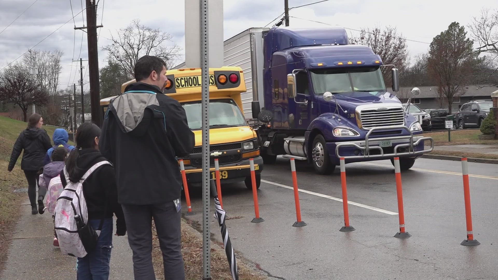
Knox County Schools announced Thursday afternoon that schools would be closed ahead of when the weather system arrives since it could dangerously impact buses during arrival and dismissal. KCS said principals, security, maintenance staff, custodial staff and central office staff would need to report on time.
The announcement comes after KCS suddenly said Tuesday that schools would close early due to high winds and rain that moved through the region. Schools were also delayed on Wednesday, due to the weather.
Students will be out of class for four days in total because Monday is also Martin Luther King Jr. Day — a federal holiday.
A list of school districts that announced delays and closures for Jan. 12 is available below.
- Adventist Christian School of Maryville: Closed
- Anderson County Schools: Closed
- Apostolic Christian Academy of Maryville: Closed
- Blount County Schools: Closed
- Campbell County Schools: Closed
- Clinton City Schools: Closed
- Cocke County Schools: Closed
- Etowah Schools: Closed
- Grainger County Schools: Closed
- Hamblen County Schools: Closed
- Jefferson County Schools: Closed
- Kings Academy: Closed
- Knox County Schools: Closed
- Lenoir City Schools: Closed
- Loudon County Schools: Closed
- McMinn County Schools: Closed
- Monroe County Schools: Closed
- Newport Grammar Schools: Closed
- Oneida Schools: Closed
- PEER Academy: Closed
- Scott County Schools: Closed
- Sevier County Schools: Closed
- Sweetwater City Schools: Closed
- Temple Academy: Closed
Another strong, low-pressure system will move through the Southeast on Friday, and winds could be more damaging after a downpour earlier in the week.
Gusts of 40 mph or higher look to be possible across most of East Tennessee Friday afternoon. Since the ground is already saturated from the heavy rain on Tuesday, there is also a higher-than-normal chance for downed trees and power outages from this event.
Once the rain moves out, colder air will come rushing in overnight Friday night into Saturday morning and any lingering showers will change from rain to snow.
This story will be updated as more information is available about whether school systems close in East Tennessee.