KNOXVILLE, Tenn. — UPDATE (5:38 p.m.)
The threat of severe weather for Monday, Aug. 7 has ended.
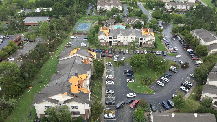
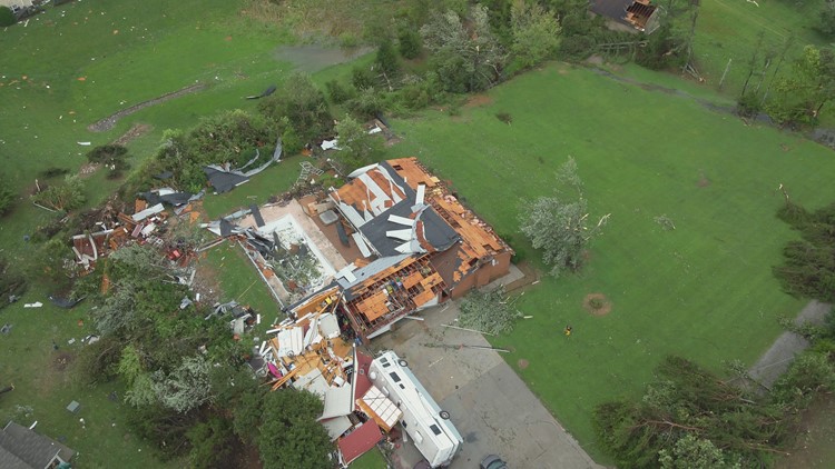
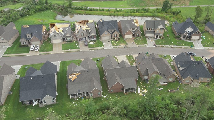
You can find the latest update on storm damage here.
----
UPDATE (3:10 p.m.): The National Weather Service issued a tornado warning for Greene County lasting until around 2:45 p.m. Residents were told to action immediately and seek shelter because a tornado has been sighted or indicated by weather radar.
Multiple East Tennessee counties were also under a Severe Thunderstorm Warning until around 3:45 p.m. Eastern Time on Monday. A list of the impacted areas is available below.
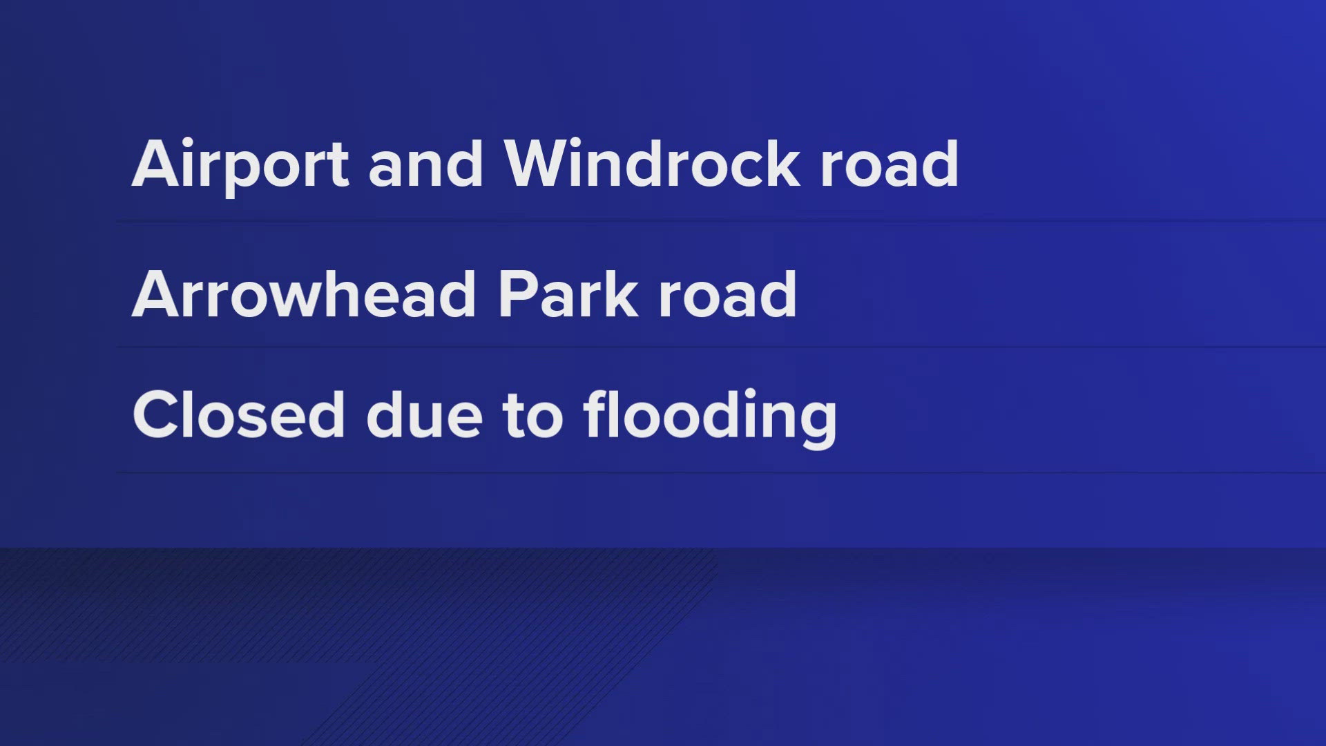
- Blount County
- Greene County
- Grainger County
- Knox County
- Cocke County
- Jefferson County
- Hamblen County
- Union County
- Sevier County
- Monroe County
A few were placed under a warning until around 3:30 p.m. Eastern Time, listed below.
- Campbell County
- Anderson County
- Claiborne County
- Union County
Some others were placed under a warning until 3:15 p.m. Eastern Time. A list of those counties is available below
- Hawkins County, TN
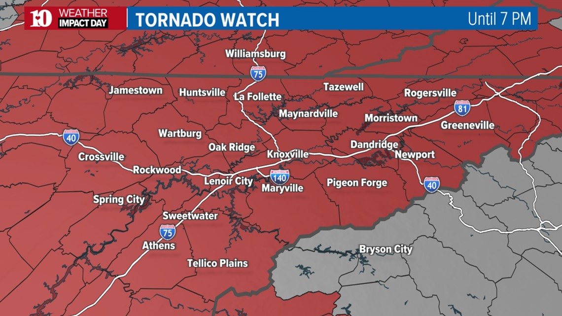
Most of the region was also under a Tornado Watch until 7 p.m. The NWS canceled a Tornado Watch in Cumberland County and Fentress County at around 3:30 p.m.
A Flash Flood Warning was also issued in some counties until around 4:15 p.m. Eastern Time. Those counties are listed below.
- Grainger County
- Jefferson County
Hamblen County, Cocke County and Greene County were also placed under a Flash Flood Warning until around 5:30 p.m.
Anyone living in areas impacted by severe weather should move to an interior room on the lowest floor of a sturdy building and avoid windows until the storms pass.
Make sure to secure loose outdoor objects and that you have a way to receive weather alerts. Visit WBIR's Weather Facebook Page to stay updated on the latest.
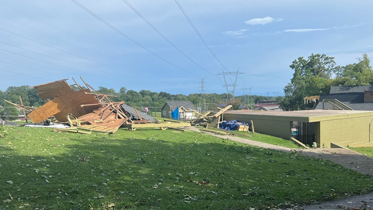
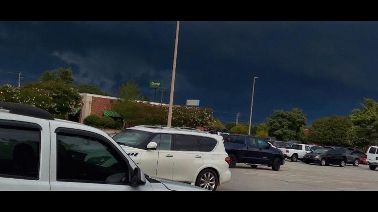
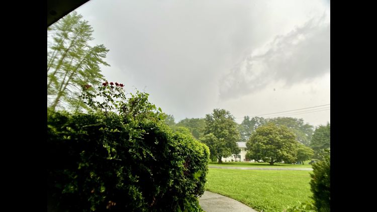
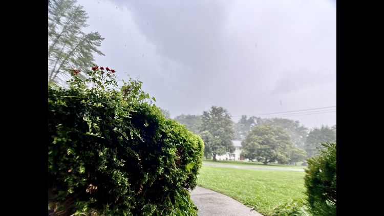
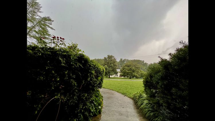
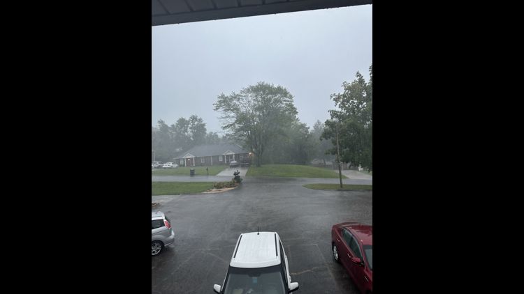
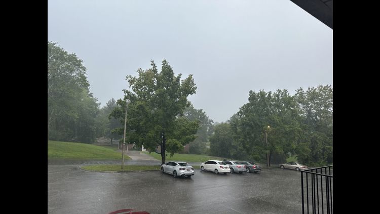
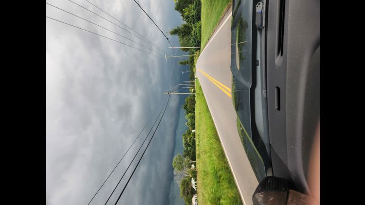
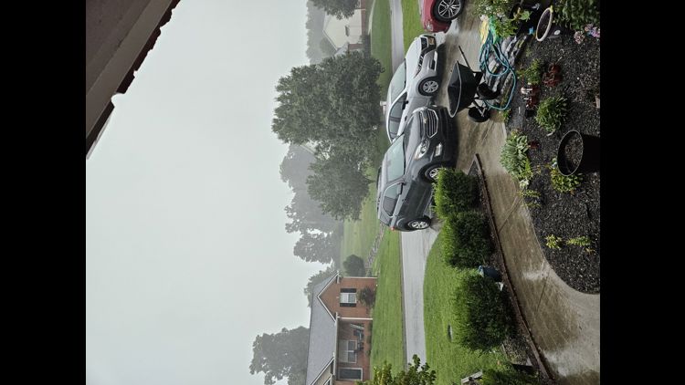
Storms damage parts of East Tennessee on Aug. 7


----
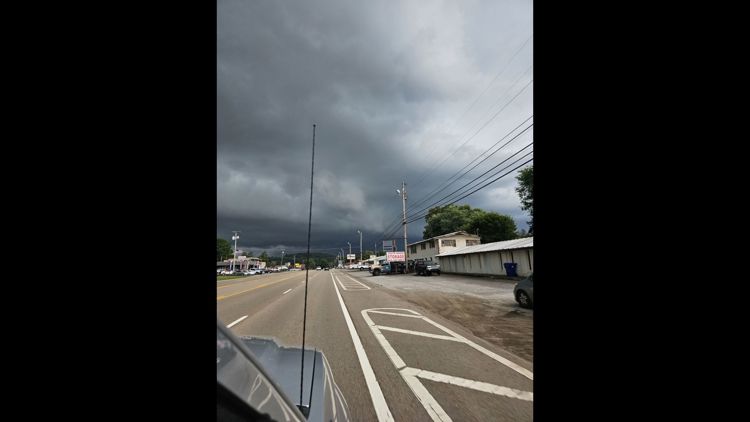
We are expecting strong storms in the region on Monday afternoon.
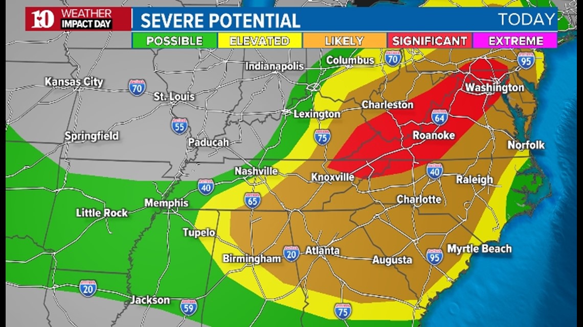
The Storm Prediction Center has most of East Tennessee in a Level 3 Enhanced risk. Some upper East Tennessee counties are at a Level 4 Moderate risk.
The whole region is under a Tornado Watch until 7 p.m.

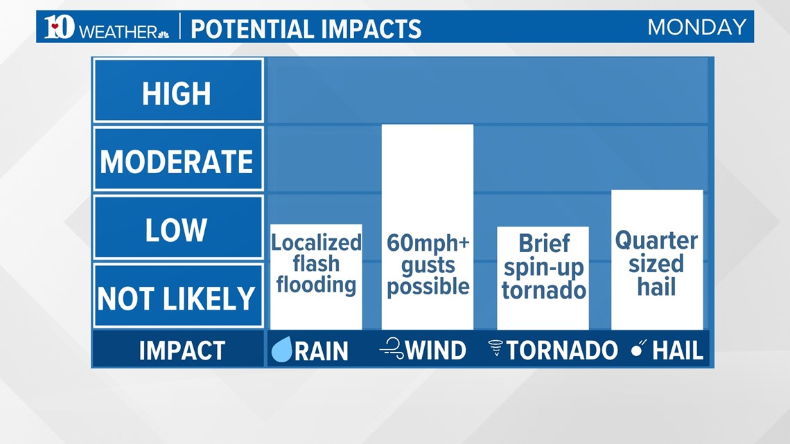
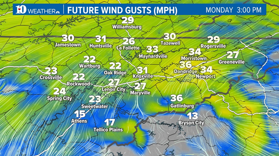
The biggest impact is gusty winds. There is a possibility of 60-70+ wind gusts. There's also a chance for quarter-sized hail and flash flooding.

A brief spin-up tornado is possible.

The last time a moderate risk was issued in our area in August was in 1990.

Make sure to secure loose outdoor objects and that you have a way to receive weather alerts. Visit WBIR's Weather Facebook Page to stay updated on the latest.